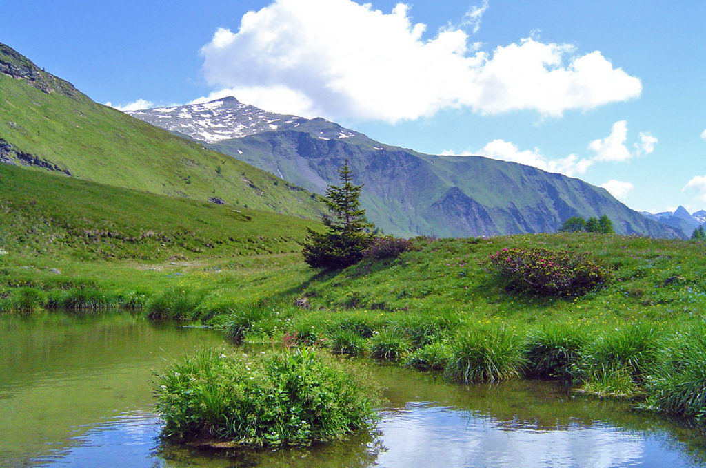
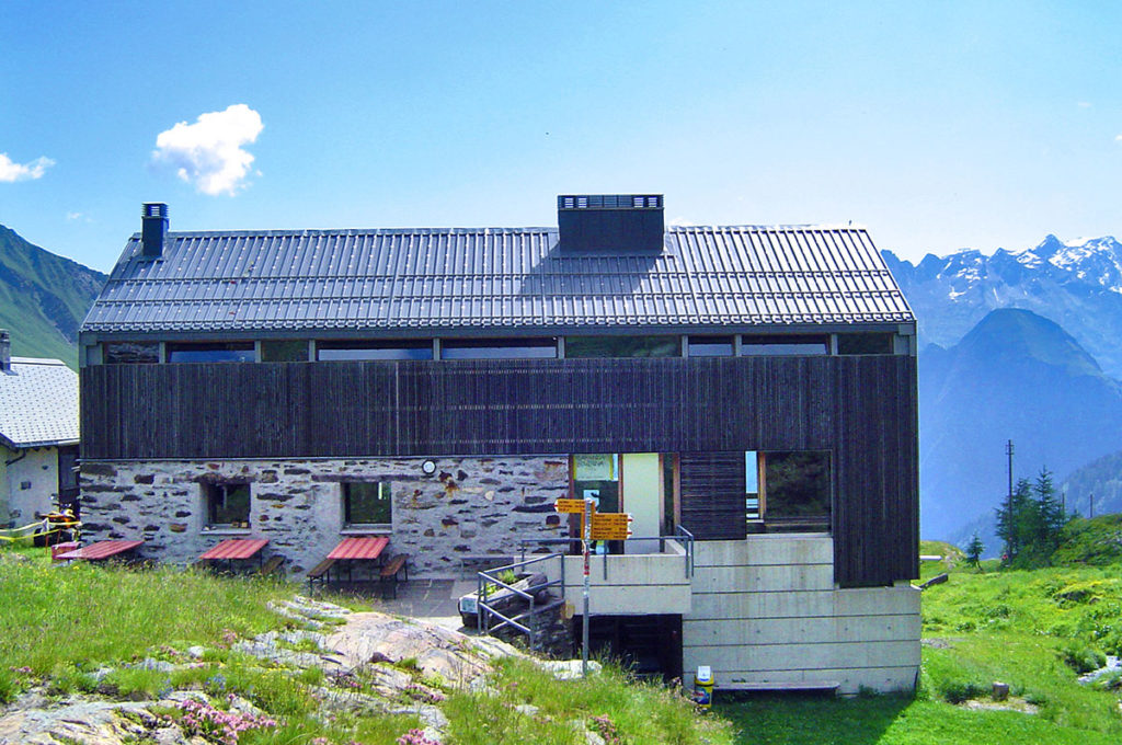
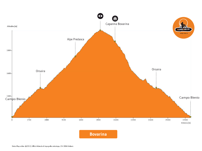
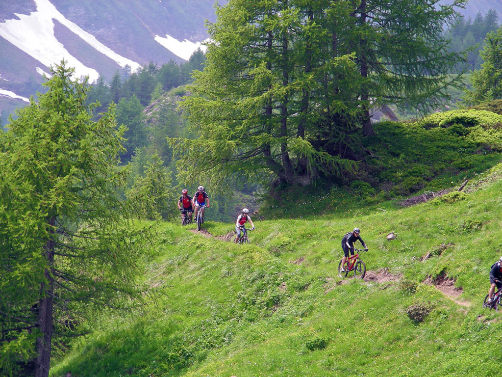
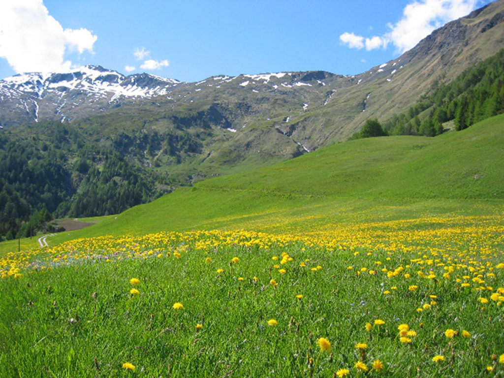
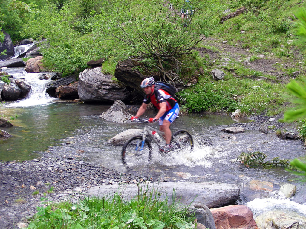
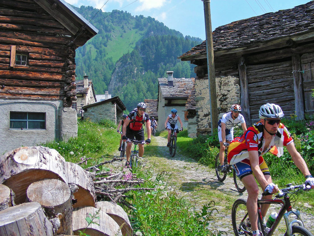
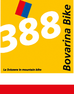
 From the valley floor to the alpine huts. From Olivone, through old historic roads and precious larch woods, you reach the Bovarina hut at 1870 meters above sea level. The efforts of the climb are rewarded by a thrilling and smooth descent through pastures and woods, surrounded by a breathtaking view.The route begins in Olivone, at 890 meters above sea level, and continues towards Campo Blenio along the old Sosto dirt road, which is included in the inventory of the Swiss communication routes because of its historical and geomorphological characteristics. Once in Campo Blenio, you take the convenient paved road that climbs up into the Campo valley. After the village of Orsàira, you enter a fine pastured larch wood, which was the subject of a recent enhancement intervention by the local Patriziato. The presence of several old and monumental larches, of impressive size, is relevant from a landscape point of view as well as from an ecological and biodiversity point of view. Almost at the edge of the wood you reach Alpe Predasca, at 1742 meters above sea level, loaded in the summer with a hundred cows, and proceed on a dirt road until you reach the Capanna Bovarina, where you can enjoy a fantastic view over the Luzzone area and on the mountain range overlooking the Greina plateau, on the north-eastern border of the canton of Tessin with the Grisons. The fun begins now, descending on a medium difficulty single trail. From the Bovarina hut, along pastures and woods, the route is especially designed for mountain bikes, and it will reward the enthusiast from the efforts of the climb, with an exciting and smooth descent all in one breath to Orsàira. Then you get on the trail on the bridge, which takes us back to Campo Blenio and then to Olivone along the Risareta area, retracing the old Sosto road.
(Source: svizzeramobile.ch)