tours
Valle di Blenio

Details
-
Tessin (Blenio Valley)25 km
-
Olivone300 m
-
900 m2 h
-
-
1
-
2
-
3
-
4
-
5
-
6
-
7
-
8
-
9
-
10
-
11
-
12
Asphalt: 10 kmDirt/gravel road: 14 kmSingle trail: 1 km -
Tour description
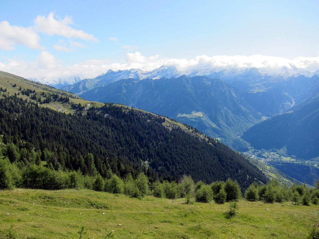
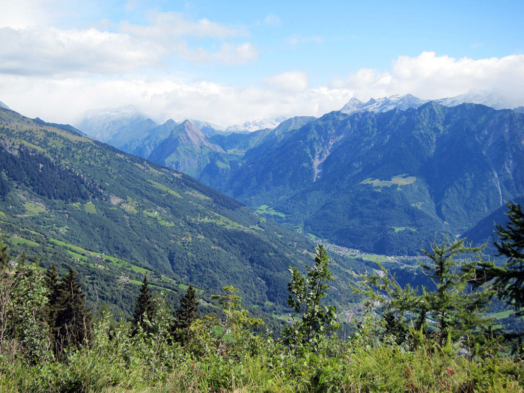
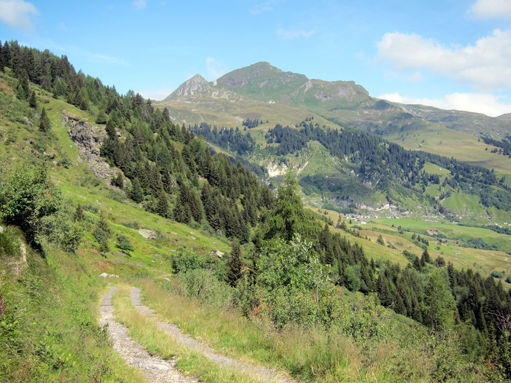
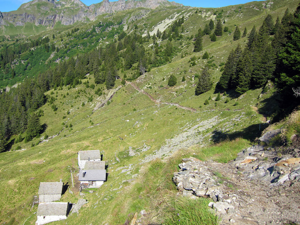
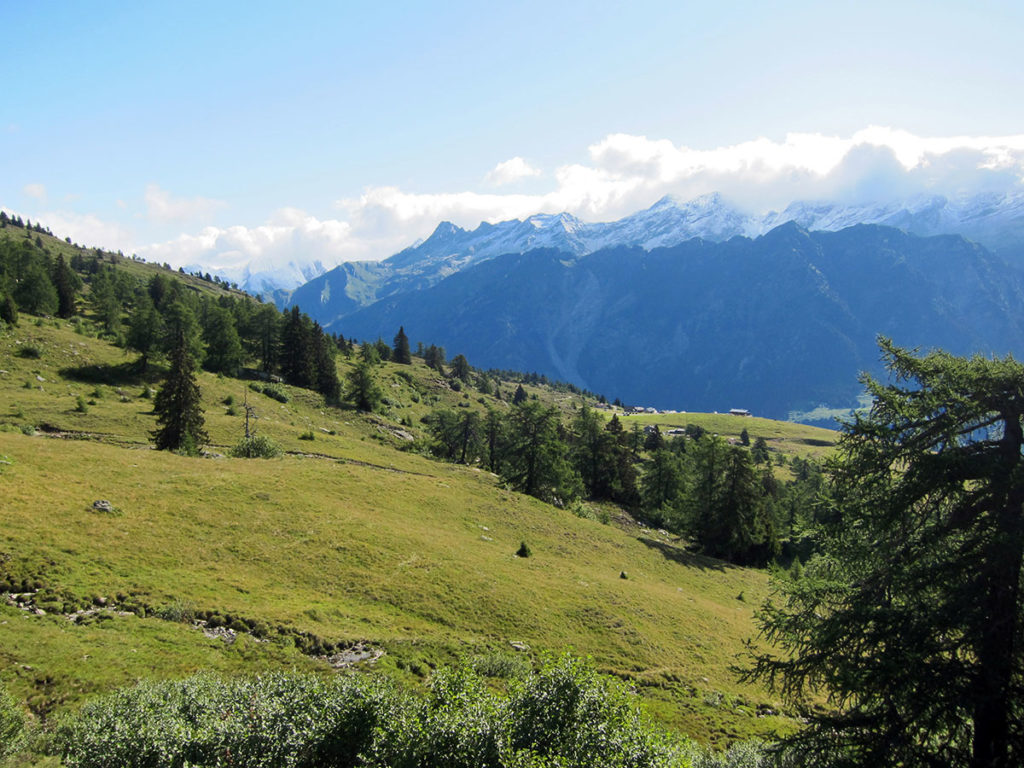
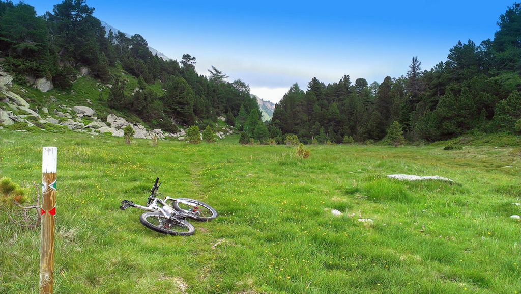
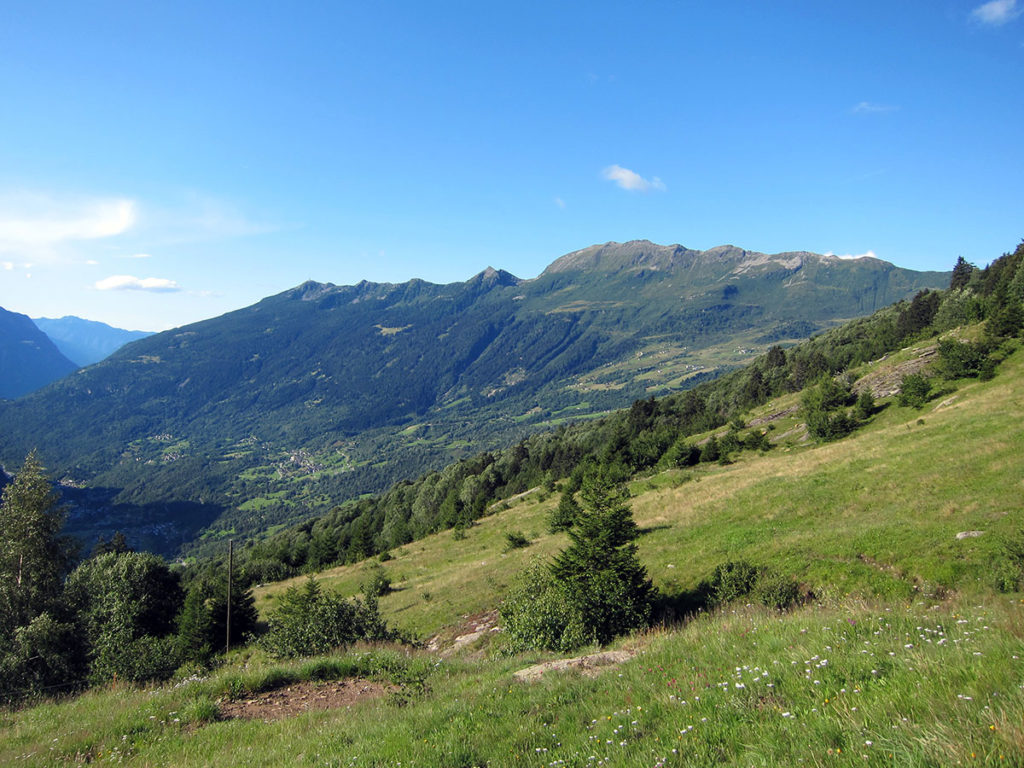
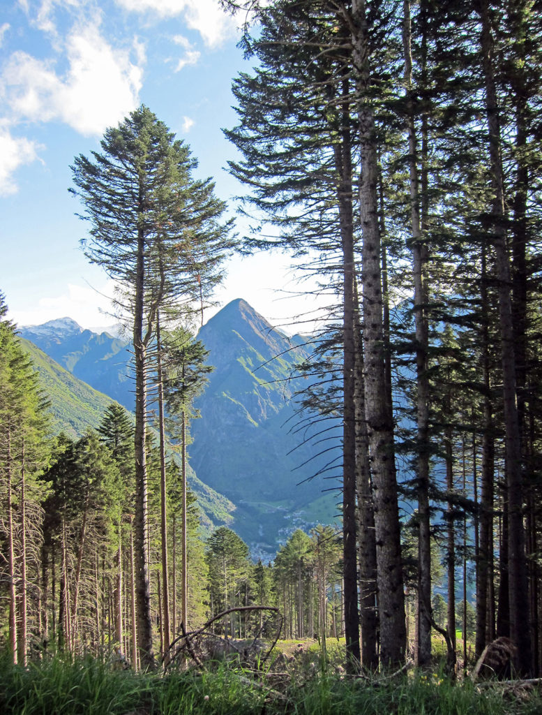
 The route connects Olivone with Biasca and can be traveled in both directions. Along the way you can find numerous historical and cultural testimonies of the valley's past.Along the path that winds along the plain, you will meet countless testimonies of the valley’s past. Starting from Olivone in the direction of Biasca, after passing the small village of Ponto Aquilesco and Aquila along mule tracks and paths, you reach the village of Dangio and pass in front of the Cima Norma. This is an old chocolate factory that in the last century made a decisive contribution to the economy of the valley, by producing, in the 40s and 50s, up to 1500 tons of chocolate and employing over 300 workers. A small climb on the path leads to the hill where Curterio castle stood, of which no significant traces remain. Here. in 1182, the Pact of Torre was signed in which Blenies and Leventines testified their desire to remain free, without jurisdiction other than that of the Milaneses. The route then continues towards Lottigna, where the Blenio Museum is located, and then descends along a path to the Terme di Acquarossa (thermal waters), which used to be a well-known health resort throughout Switzerland. The building, closed since 1971, was inaugurated in 1886. Continuing along the old Satro road, you arrive in the village of Dongio, passing through the grottoes area and through the vineyards, where you can easily admire the Pagans’ house, hanging on the rocks overlooking the village. The route then continues between Motto and Malvaglia, with a stretch of dirt road along the route of the Biasca-Acquarossa railway line, built in 1911 and dismantled in 1973. After crossing the village of Malvaglia, you set off towards the end of the route, passing through Legiuna, a floodplain area of national importance.
(Source: svizzeramobile.ch)
The route connects Olivone with Biasca and can be traveled in both directions. Along the way you can find numerous historical and cultural testimonies of the valley's past.Along the path that winds along the plain, you will meet countless testimonies of the valley’s past. Starting from Olivone in the direction of Biasca, after passing the small village of Ponto Aquilesco and Aquila along mule tracks and paths, you reach the village of Dangio and pass in front of the Cima Norma. This is an old chocolate factory that in the last century made a decisive contribution to the economy of the valley, by producing, in the 40s and 50s, up to 1500 tons of chocolate and employing over 300 workers. A small climb on the path leads to the hill where Curterio castle stood, of which no significant traces remain. Here. in 1182, the Pact of Torre was signed in which Blenies and Leventines testified their desire to remain free, without jurisdiction other than that of the Milaneses. The route then continues towards Lottigna, where the Blenio Museum is located, and then descends along a path to the Terme di Acquarossa (thermal waters), which used to be a well-known health resort throughout Switzerland. The building, closed since 1971, was inaugurated in 1886. Continuing along the old Satro road, you arrive in the village of Dongio, passing through the grottoes area and through the vineyards, where you can easily admire the Pagans’ house, hanging on the rocks overlooking the village. The route then continues between Motto and Malvaglia, with a stretch of dirt road along the route of the Biasca-Acquarossa railway line, built in 1911 and dismantled in 1973. After crossing the village of Malvaglia, you set off towards the end of the route, passing through Legiuna, a floodplain area of national importance.
(Source: svizzeramobile.ch)