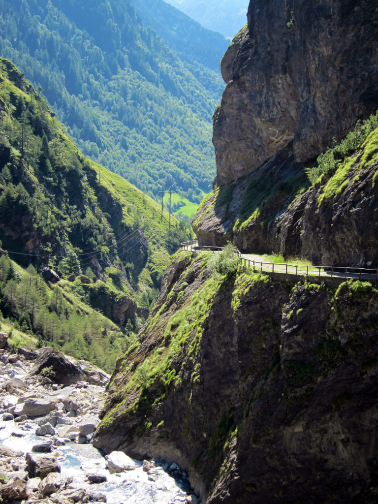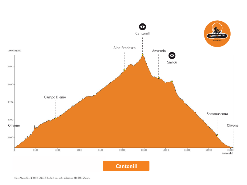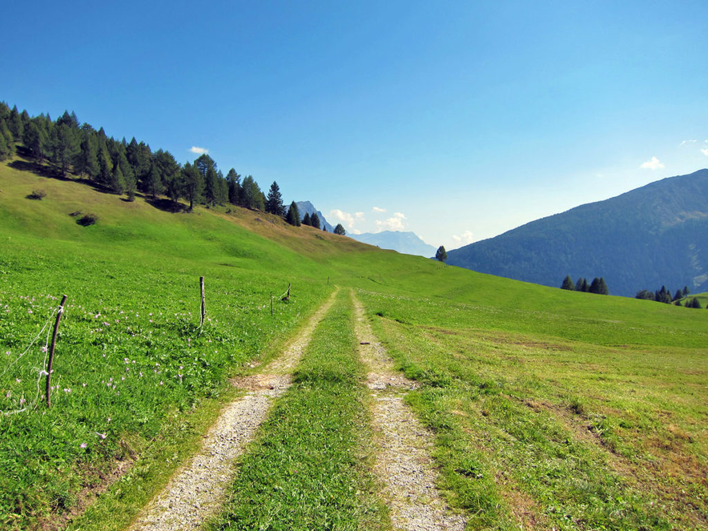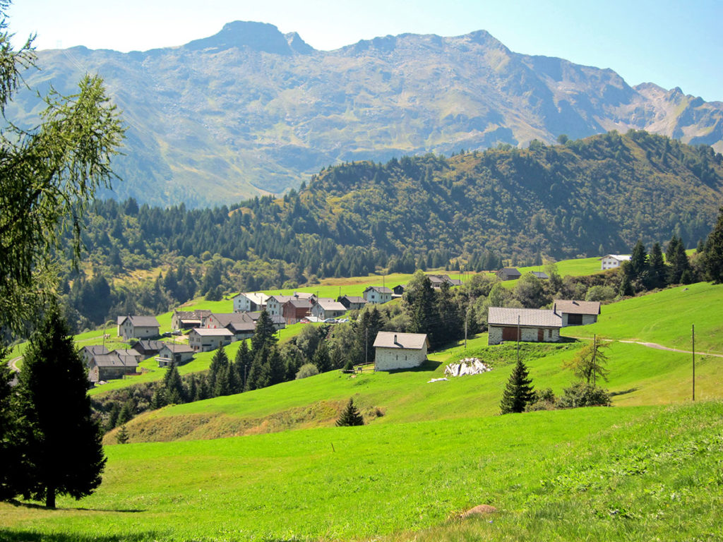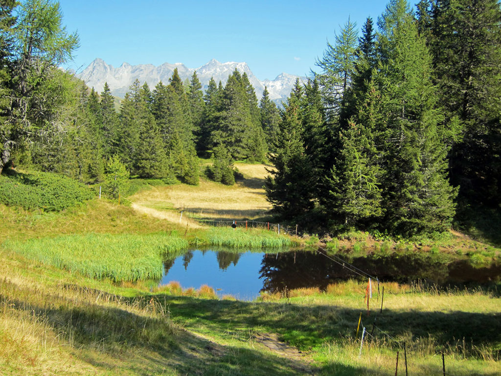
Cantonill is the name of the pass that connects the Val di Campo to the Anveuda plain. The route starts in Olivone and continues towards Campo Blenio along the old Sosto dirt road. From Campo Blenio go up the Val di Campo on the paved road to the Predasca Alp, through beautiful larch woods. Here you take the path that climbs to Cantonill. This comfortable stretch is only partially cyclable, so you need to take into account about fifteen minutes of pushing. From the pass, the view is wonderful: behind you, the top of Mount Garina, above Lake Retico, and in front of you the top of Mount Larescia. You can reach the underlying Anveuda plain in a few minutes on a partially cycleable path. Cross the Anveuda alp and proceed on the paved road, towards Simöu. The descent to Olivone begins with a short single trail to the Saléi alp, and then proceeds on a beautiful dirt road, which bend after bend, takes you across Sommascona back to Olivone.
.