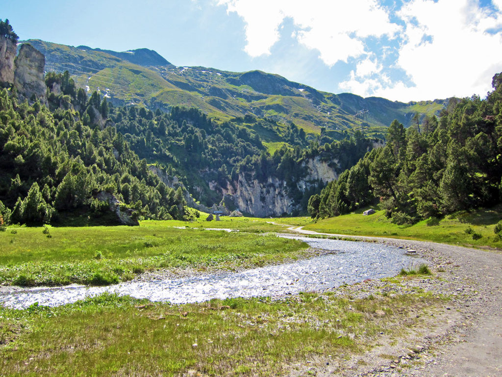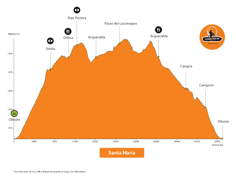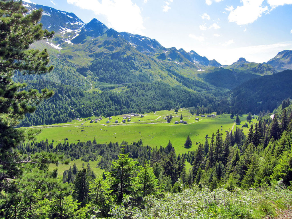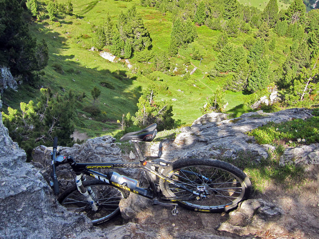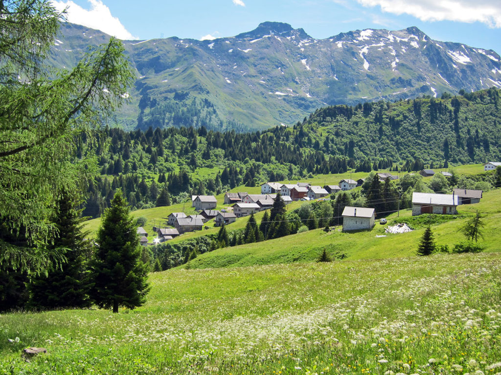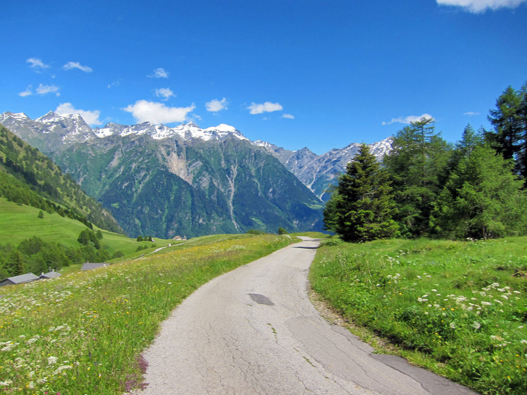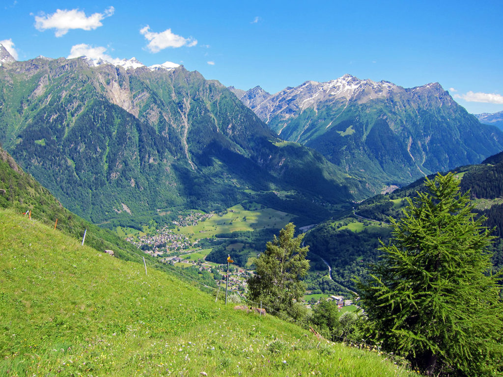
Spectacular route in the upper Blenio Valley, more precisely, along the Santa Maria valley, which from Olivone leads to the Lukmanier pass. An itinerary that has been studied in detail to satisfy bikers with the most exclusive, most demanding wishes; five stars in physical effort and panorama, four stars in technique, say a lot about the characteristics of this path. It starts from Olivone toward the village of Sommascona, where a beautiful dirt road begins which, bend after bend, leads you to the Saléi alp. Here, with your bike on your back, you go up the path for about ten minutes to Simöu. Take a short break and enjoy the wonderful panorama. You keep going on paved and dirt roads up to Dötra, where you can find the homonymous hut and a restaurant, both open in the summer. Continue towards Croce Portera, first on a steep dirt road, then on a suggestive single trail. The descent towards Pian Segno is very technical and difficult for those who want to stay siting on their saddle! Once in Acquacalda, take a nice single trail that runs along the main road of the Lukmanier pass up to the pass, going through the Pertusio Alp. From the pass you reach the Croce Alp, and on a challenging single trail along the “Foppe di Pertusio”, you go down again to the homonymous alp, where a dirt road leads to Stabbio Nuovo. Once again, on a challenging but a much fun single trail, you reach Acquacalda and descend comfortably to Campra. From there, descending on alternating dirt roads and less demanding paths, going through Camperio and Sommascona you reach the starting point in Olivone.